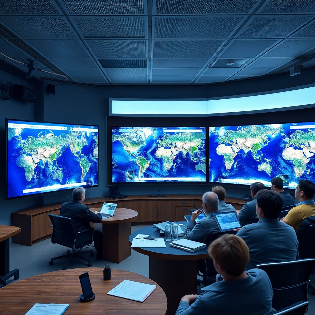
Google has abruptly withdrawn a brand‑new AI feature in Google Earth just a day after unveiling it, following an immediate outcry over how easily it could be used to manufacture realistic but entirely fabricated satellite images.
The experimental tool, powered by Google’s “Nano Banana” generative model, briefly appeared in the web version of Google Earth on July 30. Users could zoom to virtually any spot on the globe, hit a “create image” button, and then describe what they wanted to see via text. The system would then produce a synthetic satellite‑style scene matching the prompt. By the end of July 31, the feature had disappeared.
In a statement posted on X, Google acknowledged that people “uniquely trust Google Earth for a reliable view of the world” and said that this expectation of accuracy was a central reason for suspending the rollout. The company added that while some geospatial professionals had quickly identified legitimate, constructive use cases, other users were circulating AI‑generated scenes in ways that appeared to breach Google’s policies. As a result, the company said it would pause the feature while it reevaluates safeguards and usage guidelines.
The pressure to act came largely from journalists, fact‑checkers, and open‑source intelligence (OSINT) researchers who depend on authentic satellite imagery to verify everything from natural disasters and military movements to alleged war crimes. For these investigators, Google Earth and other mapping tools serve as critical evidence in reconstructing events, authenticating user‑generated footage, and corroborating or debunking government and corporate claims.
The introduction of a native AI image generator directly into a platform as widely trusted as Google Earth struck many of these professionals as a dangerous turning point. The concern was not just that users could create obviously absurd scenes-such as an imaginary volcano erupting in a major city-but that the model could be coaxed into generating highly plausible, time‑stamped views of real‑world locations that never actually existed.
Such fabricated imagery could, in theory, be weaponized to support propaganda campaigns, distort reporting on conflicts, fabricate “proof” of military buildups or atrocities, or undermine genuine evidence by seeding doubt about what is real. Investigators warned that if synthetic satellite scenes began circulating without clear and permanent labeling, they could be mistakenly accepted as authentic documentation of on‑the‑ground events.
Part of what makes satellite imagery so powerful for OSINT is its perceived objectivity. Aerial views of buildings, roads, troop formations, and environmental damage are often treated as hard evidence precisely because they appear independent of any one witness or narrative. Overlaying that space with AI‑generated content risks eroding this baseline of trust. Once users know that some satellite‑style images can be fabricated on demand, the credibility of authentic images may also be questioned.
The Nano Banana tool highlighted a larger tension playing out across the tech industry: the drive to integrate generative AI into flagship products versus the need to preserve data integrity in systems that underpin journalism, research, and public accountability. For a search engine or a photo editor, an AI assistant that “imagines” new content is usually framed as creative or helpful. For a global mapping platform widely used as an evidentiary record, synthetic content is far more fraught.
Google’s decision to yank the feature so quickly signals that the company is acutely aware of this distinction. Unlike more experimental AI demo sites, Google Earth has, over years, acquired a quasi‑archival role. It is not just a visualization tool but a reference layer used in court cases, human‑rights investigations, academic work, and news reporting. Any feature that blurs the line between observed reality and model‑generated fiction inside that environment raises extraordinary ethical and practical questions.
The controversy also illustrates how generative AI changes the nature of deepfake risks. Earlier fears focused on manipulated video of public figures or synthetic audio mimicking a person’s voice. Now, attention is shifting to geospatial deepfakes: fabricated satellite images, altered maps, or simulated drone footage. These can be more subtle, less emotionally charged than a face‑swap video, and yet potentially more consequential in conflict zones or politically sensitive areas.
For example, an AI‑generated satellite view could be used to falsely suggest that a mass grave exists-or does not exist-in a particular area, that a pipeline has been destroyed, that military hardware has appeared near a border, or that civilian infrastructure has been spared or targeted. Even if such images are eventually debunked, they can shape narratives in the crucial early hours after an event, muddying the informational waters and giving bad actors plausible deniability.
Another dimension of the backlash centers on traceability. Investigators rely not only on what an image shows, but also on metadata, historical archives, and consistency across multiple sources. Traditional satellite providers follow strict acquisition protocols, and their images can often be traced back to known sensors, orbits, and timestamps. Generative models, by contrast, do not capture light from the real world; they assemble pixels based on learned patterns. Without robust watermarking, provenance tracking, and unmistakable labels, synthetic outputs can easily be mistaken for photographs.
That is why many in the verification and OSINT communities are arguing that if AI imagery is ever integrated with mapping platforms, it must be segregated clearly from real imagery-visually, structurally, and in the user interface. Separate layers, distinct color schemes, and non‑ambiguous warnings would be needed, alongside persistent indicators embedded in the file itself that signal its synthetic origin. A single tooltip or a temporary disclaimer is unlikely to be enough.
This incident will almost certainly feed into broader debates about regulation of generative AI and responsibilities for major platforms. Policymakers are already exploring rules around labeling AI‑generated content, enforcing provenance standards, and assigning liability when synthetic media contributes to harm. Mapping and geospatial tools may now need their own category of guidelines, given their role in security assessments, disaster response, and human‑rights monitoring.
For Google, the pause could serve as a test case in how to roll back an AI feature without undermining confidence in the underlying product. Future iterations might restrict where and how generative imagery can appear-for instance, confining it to fictional or clearly stylized views rather than photorealistic overlays of real‑world coordinates. The company could also limit who gets access, prioritize expert feedback during testing, and enforce stricter prompts that prevent simulations of sensitive events or military scenarios.
At the same time, there are potential positive uses for geospatial generative AI that are now in limbo. Urban planners might simulate future zoning options or infrastructure changes; environmental researchers could visualize hypothetical flood scenarios or reforestation projects; educators might use imagined landscapes to teach geography and climate science in an engaging way. The challenge for Google and its peers will be to design tools that unlock these constructive applications without enabling the production of deceptive “evidence.”
The episode underscores a broader shift in how trust is negotiated online. As AI systems grow more adept at producing everything from news articles to photorealistic images, users must become more skeptical, and platforms must build more robust guardrails. The removal of the Nano Banana feature suggests that when a tool sits at the intersection of evidence, public understanding, and global security, the default posture may need to be caution rather than exuberant experimentation.
Ultimately, what happened with Google Earth’s AI generator is a microcosm of a much larger story: the collision between generative AI’s creative power and society’s need for stable reference points. In entertainment, synthetic content can be delightful and harmless. In information infrastructure-maps, archives, scientific records-mixing reality with plausible fiction can have cascading consequences.
By acting within 24 hours, Google appears to have recognized that distinction. The next step will be more challenging: proving that powerful AI technologies can be integrated into critical platforms in ways that enhance insight and creativity without sacrificing the reliability that journalists, investigators, and ordinary users depend on.